The Mexican land claim map (ITEM 7.4 and see also back cover) and the English and Roman route maps (ITEM 7.5 and front cover) have all the appearances of being distorted, conventional and totally indexical. However, once recognised as route maps their workability becomes apparent. They embody a lot of accurate detail and information. Apart from the language and symbols which require translation, that is, a key, they are as readable as the London Underground map (ITEM 2.8). Their base in a common human purpose in fact makes them more readable than Sagan's plaque (ITEM 2.7), for example.
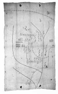
7.4
Early 16th-century Mexican Indian map of Metlacoyuca selling out lordship of the area. The temple marks the town and the figure, the lord's genealogy.
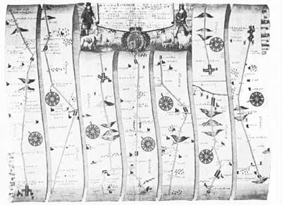
7.5
'The Roads from London to Wells in Norfolk and St. Edmons Bury in Suffolk', a strip map (1670). A highly conventional route map (note the reversed hills to indicate that the traveller is going downhill), but just as effective as the Automobile Club route maps of today.
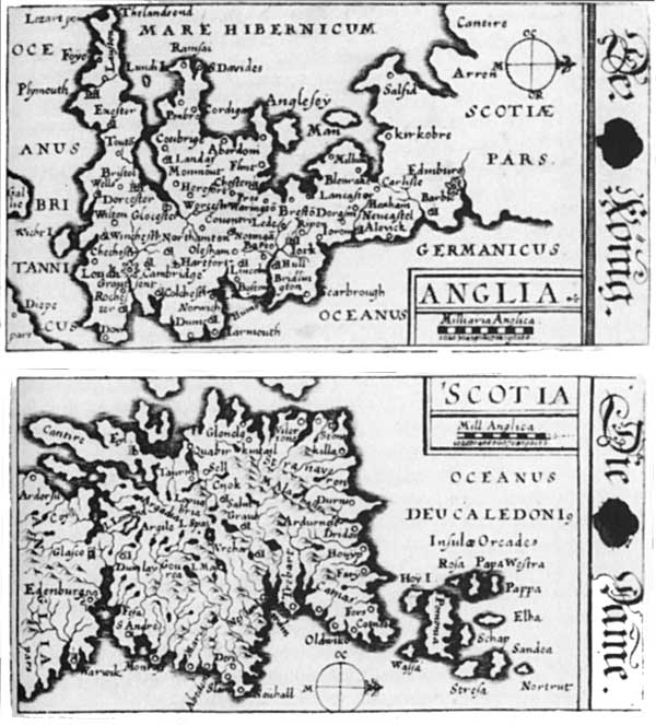
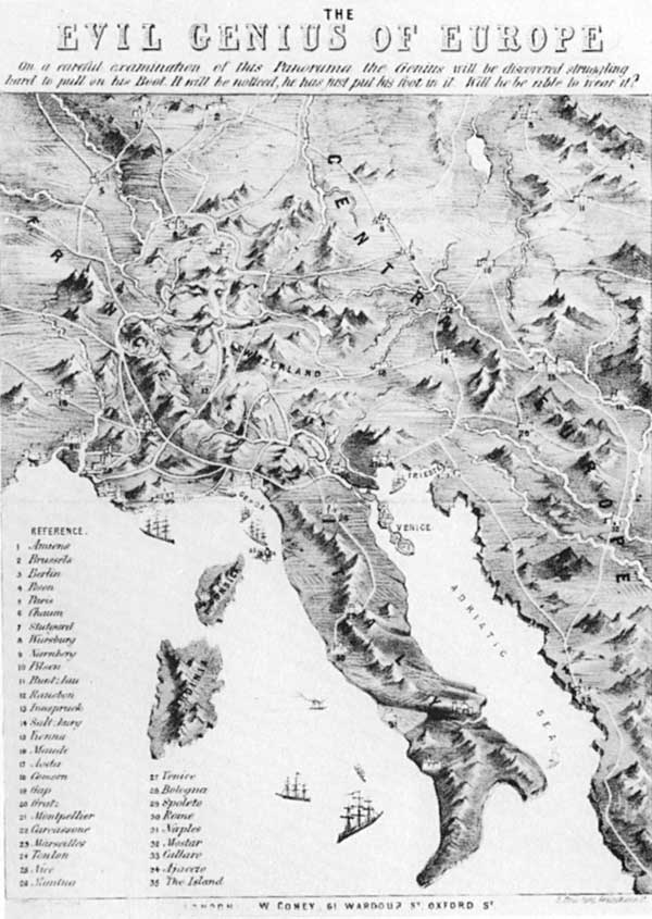
Maps can have a variety of functions: they can make political jokes (ITEM 7.6); they can educate and entertain (ITEM 7.7); and they can tell lies (ITEM 7.8). All maps also have a latent symbolic function, for example, legitimating and disseminating the state's view of reality.
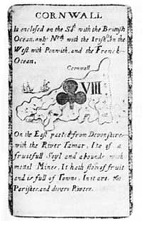
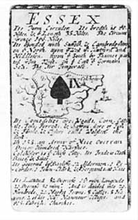
7.7
These playing card maps serve to educate as well a to entertain. The upper pair are by Hoffman (1678) and the lower pair by Redmayne (1711).
7.6
Cartoon map